Overview
In the pilot students will study a given garden or landscape and collect data of the vegetation (identifying species, identifying environmental factors, studying the use of plant material in the perspective of landscape architecture etc.). They will also observe the site and collect visual and audio material (geotagging etc.) from the site. The collected data and materials will be analyzed and processed into interactive maps, 3D point cloud visualizations or other suitable forms (to be defined more exact – work in process).
The goals of the pilot are twofold: first, to teach students the subject matter and secondly, to teach the students visualization and data collecting skills (photographing, drawing, recording video and audio materials) and techniques to process and analyze and present the collected material. Both doing the field work and processing the data strive to enhance the students observation skills and abilities to analytically represent space.
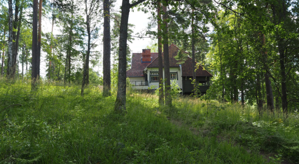
- The pilot site in 2017 will be Ainola Museum Garden in Järvenpää in collaboration with the museum, Senaatti Kiinteistöt and the National Board of Antiquities. The students will be offered basic information and historical material concerning the site (maps, photographs, texts etc.).
- The material produced on the course will later be used as learning material for other courses and students.
The objective is also to develop the Landscape Architecture Summer Academy, based on the experiences from the pilot, as a permanent part of the curriculum.
Involved courses
MAR-E1017 – Landscape Architecture Summer Academy (4 ECTS)
People
Julia Donner
School of Art, Design and Architecture, Department of Architecture / Landscape architecture
Pilot leader
Jyrki Sinkkilä
Meri Mannerla-Magnusson
Pia Fricker


