Overview
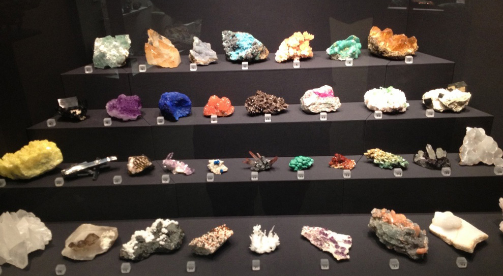
During execution of this pilot, virtual rock collection of rocks will be established. Firstly professional, photographic studio with rotary table, light tent and proper lightening will be created. Secondly by simultaneous use of 2 cameras, photos from different angles (30° and 60°) will be sourced. Subsequently gather photos will be implemented to “Digital Photo Professional 4” software and their properties will be customized. Next modified photos will be uploaded to “Reality Capture” software and 3d models will be created. Finally obtained models will be implemented to virtual reality environment and utilized for educational purposes.
Platforms and tools
MyCourses, Unity, SteamVR, Varjo VR-1, RealityCapture
Pedagogical methods
The obtained output of project will be used during execution of course “Geologia ja geomekaniikka”. The final aim is to develop new tool or/and interactive learning platform for study geology/mineralogy/petrography and also improve results, which will be achieved by students.
Involved courses
GEO-E1010 – Engineering Geology (5 ECTS)
Links & Materials
People
Lauri Uotinen
School of Engineering, Department of Civil Engineering
Pilot leader
Mikael Rinne
School of Engineering, Department of Civil Engineering
Professor, Leader of the Geoengineering Master’s Programme
Jussi Leveinen
School of Engineering, Department of Civil Engineering
Professor, Course Responsible Teacher
Mateusz Janiszewski
School of Engineering, Department of Civil Engineering
Doctoral Candidate
Lasse Kangas
School of Engineering, Department of Civil Engineering
Doctoral Candidate
Ilkka Laine
School of Engineering, Department of Civil Engineering
Research Assistant
Jeremiasz Merkel
School of Engineering, Department of Civil Engineering
Master’s thesis worker
